The Lost Valley Walk Glencoe Scotland is a dramatic mountain hike into Coire Gabhail, a hidden valley tucked between the Three Sisters of Glen Coe. The route covers approximately 4 km (2.5 miles) return, takes around 2–3 hours, and includes steep, rocky ground, a short scramble, and a stream crossing that can become dangerous after heavy rain.
This guide explains where to start, how difficult the walk is, where to park, what equipment to carry, and when to turn back. Use the practical advice below to decide whether this Scottish Highlands adventure matches your experience and the conditions on the day.
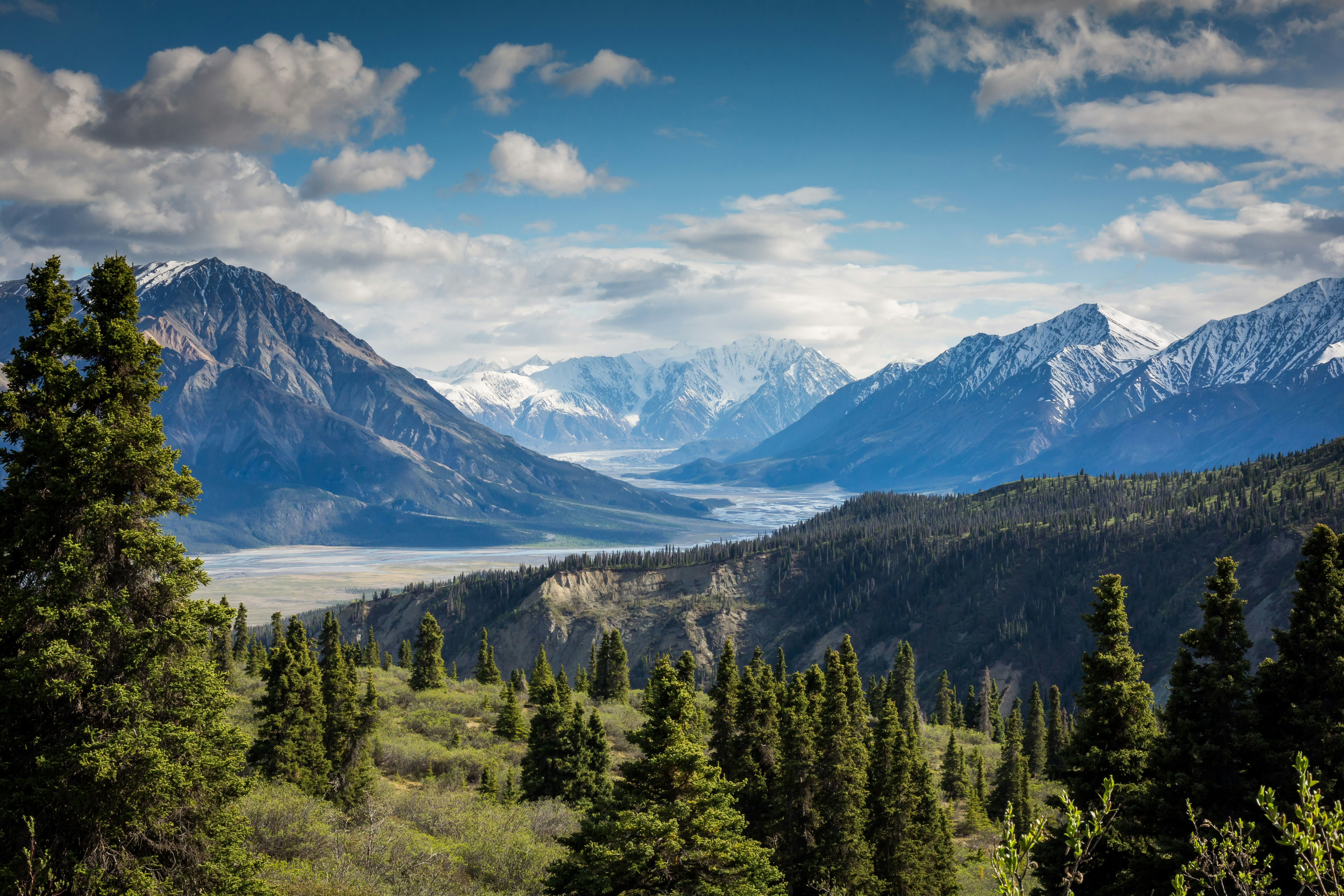
Lost Valley Walk Glencoe Scotland: Route Overview
The Lost Valley is a short but demanding mountain walk with rocky terrain, a gorge crossing, and exposed scrambling sections. Its modest distance should not be mistaken for an easy stroll.
| Route detail | What to expect |
|---|---|
| Destination | Coire Gabhail, Glen Coe, Scottish Highlands |
| Distance | Approximately 4 km (2.5 miles) return |
| Walking time | Approximately 2–3 hours |
| Total ascent | Approximately 335 metres |
| Starting point | Car park on the A82 near the Three Sisters |
| Terrain | Rocky paths, steep slopes, steps, scrambling and a stream crossing |
| Route type | Out and back using the same route |
| Best suited to | Walkers comfortable with uneven mountain terrain |
| Primary concern | Slippery rocks, difficult stream conditions and exposed sections |
These figures are published route estimates, not guaranteed completion times. The rough ground, weather, water levels, fitness of the group, and time spent exploring the valley can all affect the total outing.
Check the detailed Lost Valley route guide from Walkhighlands before leaving. It includes route stages, terrain information, and additional walking guidance.
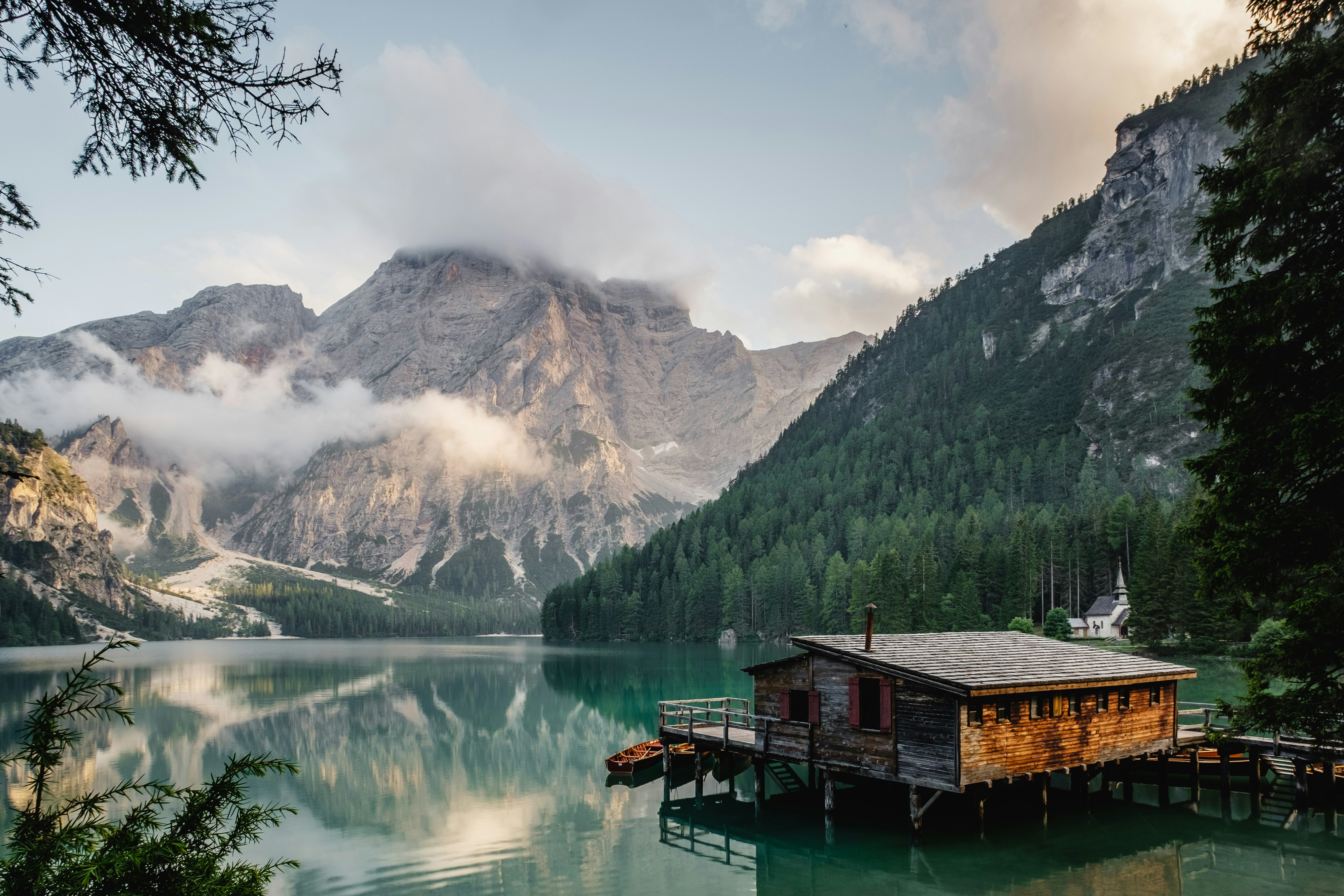
Where Is the Lost Valley in Glencoe?
The Lost Valley, also called Coire Gabhail, lies between the mountain ridges of Gearr Aonach and Beinn Fhada in Glen Coe, western Scotland. Its entrance is hidden behind a rocky gorge, making the broad valley difficult to see from the main road.
The valley is associated with the history of Clan MacDonald. According to local tradition, members of the clan used this secluded location to hide cattle they had rustled or to protect their own livestock from theft.
The landscape also carries a connection to the Massacre of Glencoe in 1692. Historical accounts and local traditions associate the valley with people fleeing the violence and seeking shelter in the surrounding mountains. Treat individual historical stories with care, as not every detail of the traditional account is independently established.
Today, walkers visit for the enclosed valley, towering rock walls, boulder fields, and dramatic views toward the surrounding peaks. The contrast between the narrow approach and the unexpectedly broad interior is one of the route’s defining features.
For broader destination information, explore VisitScotland’s guide to walking in Glencoe.
How to Reach the Lost Valley Walk Trailhead
The usual starting point is one of the roadside car parks on the A82 near the Three Sisters viewpoint in Glen Coe. Plan your journey to the actual trailhead rather than assuming a general Glencoe village stop will put you at the beginning of the hike.
Driving to the Three Sisters car park
The A82 is the main road through Glen Coe. From the road, follow local signs and look for the designated parking areas near the Three Sisters. The route guide gives the approximate starting grid reference as NN170569.
- Arrive early where possible, particularly during busy holiday periods.
- Use designated parking spaces and keep access routes clear.
- Check local parking signs and restrictions before leaving your vehicle.
- Keep valuables out of sight and secure your vehicle.
- Do not assume that parking will be available when you arrive.
Can you reach the walk by public transport?
Buses operate along the A82 between major destinations including Glasgow and Fort William. However, a bus passing the glen does not guarantee a safe or convenient stop at the Lost Valley trailhead.
Confirm the current timetable, the exact stop, the walking distance from that stop, and your return journey before committing. If you need a taxi or private transfer, arrange both the outward and return legs in advance.
For broader transport planning, see airport transfers and transport services and train and bus travel options.
Lost Valley Walk Glencoe Scotland: Step-by-Step Route
The route descends toward an old track, crosses the River Coe gorge, climbs through rocky terrain, and reaches the hidden valley beyond a steep section of path. The return journey follows the same route, so remember that the difficult ground must be negotiated in both directions.
Step 1: Start at the roadside car park
Before setting off, check the weather, inspect your footwear, and make sure everyone understands the planned route. Save an offline map and carry a backup navigation option instead of relying entirely on mobile reception.
From the car park, follow the path downhill toward the old track. The initial descent can feel straightforward, but the terrain becomes more demanding as the route approaches the gorge.
Step 2: Descend toward the River Coe
The route follows the old track before turning onto a path that descends toward the river. Metal or stone steps lead toward the crossing, depending on the section of the approach.
Take care on wet steps and uneven surfaces. Keep a comfortable distance from other walkers where possible, and avoid rushing to maintain someone else’s pace.
Step 3: Cross the gorge and climb the rocky path
After crossing the River Coe, the path becomes steep and rocky. Some sections require using your hands to maintain balance as you negotiate the rough ground.
This is a key decision point for less experienced walkers. If the rock is wet, you feel uncomfortable with the exposure, or anyone in the group struggles to maintain secure footing, turn back rather than continuing under pressure.
Step 4: Continue through the rocky gorge
The path continues through birch woodland and rocky ground beneath the surrounding mountain slopes. Stone steps and rough sections help walkers gain height, but the terrain remains uneven.
Watch your footing and avoid dislodging rocks onto people below. Keep children close and do not allow anyone to approach steep edges for photographs.
Step 5: Assess the stream crossing
A burn, or small mountain stream, must be crossed before reaching the Lost Valley. The usual stepping stones may be slippery, submerged, or impossible to cross safely following heavy rain.
If the stream is swollen, fast-flowing, or unsafe to cross, turn back. Do not attempt to jump across rushing water, enter deep water, or rely on the expectation that conditions will improve later.
Step 6: Negotiate the final rocky section
Beyond the stream, the route includes another steep rocky section. Some walkers find the exposed position uncomfortable, especially where the ground falls away beside the path.
Move deliberately and keep three points of contact where the terrain calls for it. If you cannot confidently negotiate the section in both directions, do not continue into the valley.
Step 7: Explore Coire Gabhail and return safely
After the steepest section, the terrain opens into the Lost Valley. The broad, rocky floor is surrounded by imposing mountain walls, and the change in scenery makes the effort worthwhile for walkers who reach it safely.
Allow time to rest, take photographs from secure ground, and enjoy the landscape without approaching unstable boulders or steep slopes. Keep track of your turnaround time and daylight.
Return along the same route. The descent can be just as challenging as the ascent, especially when legs are tired or rocks are wet.
How Difficult Is the Lost Valley Walk?
The Lost Valley is best treated as a demanding short mountain hike rather than a beginner-friendly walk. The short distance is offset by steep climbing, uneven rocks, scrambling, and a stream crossing.
VisitScotland describes the route as a moderate walk but emphasizes its rough character. Walkhighlands highlights the steep, rocky terrain and need for care. In practical terms, walkers should assess their ability against the actual terrain rather than relying on a single difficulty label.
Who should consider this route?
- Walkers who are comfortable on steep, uneven mountain paths.
- People with suitable footwear and experience judging difficult ground.
- Hikers able to maintain balance on exposed sections.
- Groups prepared to turn around when conditions become unsafe.
Is the Lost Valley suitable for children?
The route is not an appropriate default choice for a casual family walk or for young children without relevant hiking experience. Rocky scrambling, steep drops, and the stream crossing create hazards that cannot be solved simply by walking slowly.
Parents should assess each child’s ability and the conditions carefully. For more general advice about selecting appropriate trails, read our guide to choosing hikes with kids. That guide is a general family resource, not a claim that the Lost Valley itself is child-friendly.
Visitors seeking a gentler outing can consider the Glencoe Lochan trails or suitable sections of the Glencoe Greenway instead.

What Is the Best Time to Walk the Lost Valley?
The best time to attempt the walk is when the forecast, visibility, ground conditions, stream level, and available daylight all support a safe outing. No month guarantees suitable conditions in the Scottish Highlands.
Spring and summer
Longer daylight hours can make planning easier, but rain, low cloud, wind, and slippery rock remain possible. Popular days can also mean crowded parking and more people on narrow sections.
Autumn
Autumn can bring beautiful colours and quieter periods, but shorter days and wet ground require careful planning. Check the forecast and leave enough time for the return before darkness.
Winter and snow conditions
Winter conditions can substantially increase the difficulty. Ice, snow, freezing temperatures, poor visibility, and avalanche-prone mountain terrain may make the route unsuitable for ordinary hillwalkers.
Do not treat a clear forecast in the valley as proof that the higher ground is safe. If winter skills and equipment are required beyond your experience, choose another walk.
Check the UK Met Office forecast and consult current local mountain-condition information before leaving.
What to Pack for the Lost Valley Walk
Pack for a mountain environment, including wet weather, navigation, changing temperatures, and an unexpected delay. A short route still needs proper preparation when the terrain is steep and remote.
- Sturdy hiking boots with reliable grip.
- Waterproof jacket and suitable waterproof trousers.
- Warm layers that can be added or removed.
- Enough drinking water and food for the outing.
- Offline map and a suitable navigation backup.
- Fully charged phone and a power bank.
- Small first-aid kit and personal medication where needed.
- Headtorch, particularly when daylight is limited.
- Sun protection and weather-appropriate accessories.
- Emergency supplies appropriate to the season and conditions.
Do not rely on mobile coverage being available throughout the route. Tell someone your plans, expected return time, and what action they should take if you do not return as expected.
For a broader trip-preparation checklist, see our family travel planning guide and adapt the packing advice to the more demanding mountain conditions.
Lost Valley Walk Safety: Essential Advice
Do not start or continue the hike if heavy rain, dangerous water levels, poor visibility, ice, or your own ability makes the route unsafe. Reaching the destination is optional; returning safely is essential.
Check conditions before departure
Review the weather forecast, recent rainfall, local route information, and any access restrictions. Heavy rain can affect the stream crossing, while wet rock can make the gorge and scrambling sections substantially more hazardous.
Know when to turn around
Turn back if you encounter:
- A stream that cannot be crossed safely.
- Rock surfaces too slippery for secure movement.
- Visibility too poor for confident navigation.
- Snow or ice beyond your skills and equipment.
- Exhaustion, injury, or an unrealistic return time.
Protect the environment
Coire Gabhail is a sensitive mountain environment. Carry all litter out, avoid disturbing wildlife, stay on the established route where practical, and do not damage vegetation or move rocks unnecessarily.
If camping elsewhere in the Highlands, follow the Scottish Outdoor Access Code and respect local access guidance. Do not assume that the valley floor is suitable for an overnight stay simply because other visitors have camped there.
Alternative Walks Around Glencoe
If the Lost Valley is too difficult or conditions are poor, Glencoe has gentler alternatives that offer scenery without the same scrambling demands. Choose the route according to its current condition, your mobility, and the time available.
Glencoe Lochan trails
Glencoe Lochan offers waymarked woodland trails around a small loch. The setting provides a quieter alternative for visitors who want trees, water, and mountain views without committing to the Lost Valley’s steep rocky approach.
Glencoe Greenway
The Glencoe Greenway provides a shared-use route through the area. The National Trust for Scotland describes a 5 km route linking parts of the glen. Check current access and accessibility details before planning your visit.
An Torr and Signal Rock
The woodland routes around An Torr and Signal Rock offer another option for exploring the area’s landscape and history. Check the route length and trail conditions before setting out.
For general inspiration, browse our guide to national parks for families and family vacation destinations. These are broader planning resources rather than detailed guides to the specific Glencoe routes.
For official destination details, see VisitScotland’s Glencoe walking guide.

How Much Does a Lost Valley Walk Cost?
The walk itself does not require a guided tour, but your total cost depends on transport, parking arrangements, accommodation, equipment, and food. Verify current charges and service availability instead of relying on outdated prices.
| Expense | How to plan it |
|---|---|
| Trail access | Check current access guidance and any restrictions. |
| Parking | Check signs and current parking arrangements at the selected car park. |
| Transport | Compare driving, public transport, or a pre-arranged transfer. |
| Accommodation | Compare Glencoe, Ballachulish, and other practical bases. |
| Food and water | Bring suitable supplies and allow for additional needs. |
| Hiking equipment | Check footwear and waterproofs before departure to avoid last-minute purchases. |
For accommodation research, visit our hotels and accommodation guide. If you plan to visit multiple locations, compare the complete transport cost rather than focusing only on the cheapest advertised fare.
Do not sacrifice suitable footwear, weather protection, or safe transport to reduce the budget. On a mountain walk, the right preparation matters more than a small saving.
Practical Itinerary for a Lost Valley Day Trip
Allow a flexible half-day window for the hike and its preparation, rather than treating the published walking time as the entire outing. The route estimate of 2–3 hours excludes some travel, parking, equipment checks, and any additional time spent exploring.
- Before leaving: Check weather, stream conditions, route information, and daylight.
- At the trailhead: Confirm the route, prepare equipment, and set a turnaround time.
- On the approach: Walk steadily and reassess the terrain before committing to difficult sections.
- In the valley: Rest on safe ground, take photographs, and leave the environment undisturbed.
- On the return: Allow extra time for descending rocky sections and crossing the gorge.
- After the walk: Check that everyone has returned safely and adjust the rest of your itinerary if the hike takes longer than expected.
If the forecast deteriorates or the route becomes unsafe, replace the hike with a suitable low-level walk or a visit to the Glencoe Visitor Centre. A flexible itinerary is more useful than a schedule that pressures you to continue in poor conditions.
Frequently Asked Questions About the Lost Valley Walk
How long does the Lost Valley Walk take?
The walk generally takes around 2–3 hours for the approximately 4 km return route. Rough terrain, weather, stream conditions, fitness, and stops can extend the outing.
How far is the Lost Valley Walk in Glencoe?
The published route is approximately 4 km (2.5 miles) return, with around 335 metres of ascent. Treat these as route-guide estimates and confirm the current route information before visiting.
Where do you park for the Lost Valley Walk?
The usual starting point is a roadside car park on the A82 near the Three Sisters in Glen Coe. Arrive early where possible and follow local parking signs.
Is the Lost Valley Walk suitable for beginners?
It is not an ideal first mountain hike for someone unfamiliar with steep, rocky ground. The route includes scrambling and a potentially difficult stream crossing, so beginners should consider an easier alternative unless appropriately experienced and prepared.
Can you visit the Lost Valley after heavy rain?
Heavy rain can make the stream crossing unsafe and leave rocks slippery. Postpone the walk if water levels are high or the route cannot be negotiated safely.
Can children walk to the Lost Valley?
Suitability depends on each child’s experience, ability, supervision, and conditions. Because of the steep and rocky terrain, scrambling, and stream crossing, this is not a general-purpose family walk for young or inexperienced hikers.
Is the Lost Valley Walk a circular route?
No. The standard route is an out-and-back walk, meaning you return to the starting point along the same path.
What should I wear for the Lost Valley Walk?
Wear sturdy hiking boots with good grip, weatherproof outer layers, and clothing suitable for changing Highland conditions. Carry warm layers even when the weather looks mild at the trailhead.
Can you reach the Lost Valley without a car?
Buses operate along the A82, but you must confirm whether a suitable stop is available for your journey and arrange a safe approach to the trailhead. Do not assume a bus will stop directly at the car park.
What can you do near the Lost Valley if the weather is bad?
Consider the Glencoe Lochan trails, suitable sections of the Glencoe Greenway, or the Glencoe Visitor Centre. Check local conditions before choosing an alternative because low-level routes can also become wet or slippery.
Final Verdict: Is the Lost Valley Walk Worth It?
The Lost Valley Walk Glencoe Scotland is a memorable choice for prepared walkers who are comfortable with steep, rocky mountain terrain and who can judge when conditions are unsafe. Its hidden valley, dramatic rock walls, and Highland setting make it distinctive, but the short distance should never be mistaken for low difficulty.
Plan around the weather, check the stream crossing, carry appropriate equipment, and leave enough time to return. If the route exceeds your ability or the conditions are unsuitable, choose a gentler Glencoe walk instead.
For reliable planning, use the detailed Walkhighlands route description alongside VisitScotland’s official destination guidance. Recheck conditions close to departure because mountain safety depends on what you encounter on the day.
Editorial note: This guide uses published route information and general mountain-safety guidance. The Offers Guy has not claimed to have personally completed the walk. Route conditions, transport arrangements, and access information may change.