Easy walks Loch Lomond Trossachs National Park visitors can enjoy include level riverside paths at Callander Meadows, accessible lochside routes at Firkin Point, gentle woodland trails around Aberfoyle, and scenic paths beside Loch Katrine. The best choice depends on your preferred scenery, walking ability, available time, and current trail conditions.
Scotland’s first national park combines freshwater lochs, wooded glens, riverside paths, small historic villages, and mountain scenery. You do not need to climb a summit to enjoy it. Several low-level walks provide beautiful views without the sustained ascent associated with popular hill routes.

This guide compares eight walking ideas, explains which routes suit beginners and families, and covers practical details such as surfaces, transport, footwear, weather, and accessibility. Route distances and times are planning estimates where specified; check official route information before travelling.
Quick Comparison: Easy Walks in Loch Lomond and the Trossachs
For the easiest starting point, consider Callander Meadows or the surfaced path at Firkin Point. Both provide a way to enjoy the landscape without choosing a demanding hill ascent, although accessibility and conditions vary along each route.
| Walk | Best for | Terrain and planning notes |
|---|---|---|
| Callander Meadows | Beginners and families | Level riverside paths; short circular option |
| Firkin Point | Lochside views | Level surfaced path; walk a section and return |
| Luss village paths | Village scenery | Riverside walking; check the chosen route surface |
| Loch Katrine, Brenachoile Trail | Loch and mountain views | Quiet tarmac road shared with a small amount of traffic; 3.4 km one way |
| Cashel Forest Paths | Woodland and nature | Options range from a 500 m riverside wander to longer routes |
| Brig o’ Turk to Loch Achray | Short forest-and-loch walk | About 2 km one way; mostly firm gravel |
| Aberfoyle forest paths | Woodland atmosphere | Choose a suitable local trail and check gradients |
| Kilmun Heritage Trail | Short heritage walk | About 0.7 km circular; includes a conifer forest section |
These distances are not all comparable: some describe one-way routes, while others refer to a circular walk or a section of a larger path. Confirm the precise route, return distance, and current access arrangements before departure. The official National Park short and moderate walking routes directory provides route-specific information.
1. Callander Meadows: A Gentle Riverside Walk
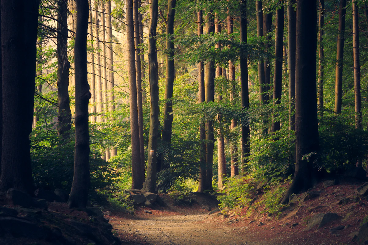
Callander Meadows is a strong choice for a short, low-level walk beside the River Teith. The National Park describes the route as an easy, pleasant riverside walk with wildlife and wildflowers along the riverbanks.
What makes this walk worthwhile?
The route offers a different experience from a mountain hike. Instead of concentrating on a summit, you can watch the river, look for seasonal flowers, and enjoy views towards the surrounding hills. Callander also gives visitors access to local services, making it a convenient stop on a wider Trossachs trip.
- Best for: Beginners, families, and travellers who prefer gentle terrain.
- Surface: The National Park identifies a short circular route with a tarmac surface.
- Extra option: Some sections connect with National Cycle Route 7.
- Planning: Check the route map and the location of the appropriate car park before setting out.
Although the surfaced circular route is useful for many visitors, do not assume every connecting path is equally smooth. Recent rain, temporary works, and local conditions can affect the experience.
Families planning several outdoor stops can also explore our guide to best hikes with kids for general advice on choosing manageable distances, taking breaks, and keeping children comfortable outdoors.
2. Firkin Point: An Easy Loch Lomond Shore Walk
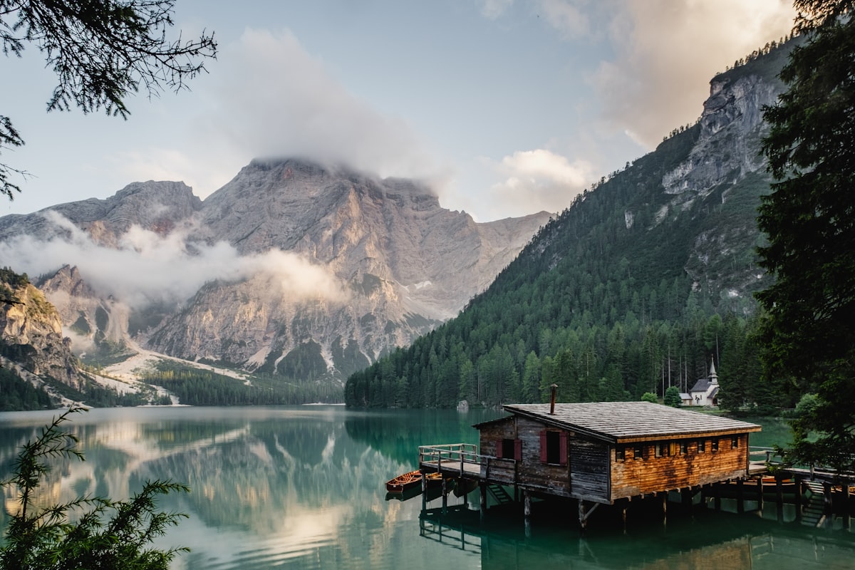
Firkin Point is one of the most practical options for a gentle walk beside Loch Lomond. The National Park identifies a level surfaced path extending north or south from the car park and picnic area, with up to three miles available in either direction.
How far should you walk?
You do not need to complete the whole available section. Walk for 15–30 minutes in one direction, stop to enjoy the loch, and return along the same path. This flexible approach works well when travelling with young children, older relatives, or anyone who prefers a shorter outing.
The lochside setting offers views across the water towards surrounding hills. Ben Lomond may also be visible in suitable conditions, making this a rewarding location for landscape photography without a long uphill climb.
- Best for: A short stroll, picnic stop, or gentle family outing.
- Surface: The National Park describes a level, surfaced path.
- Facilities: The official accessibility information lists parking, disabled toilets, and picnic benches at the site.
- Important: Confirm current facility availability and access before travelling.
Read the park’s official all-abilities walking information for details about Firkin Point and other locations suitable for visitors looking for smoother surfaces.
3. Luss Village Paths: A Relaxed Walk With Highland Character

Luss is worth considering if you want a gentle village walk with access to Loch Lomond scenery. The National Park highlights the riverside path from the village centre along Luss Water, with a return via the old Luss road.
How to enjoy Luss without overplanning
Start by exploring the village on foot, then follow the signed route towards Luss Water if the current path conditions and your walking ability permit. Take time to notice the traditional buildings and surrounding landscape rather than rushing to complete a distance target.
The precise distance and duration depend on the route variation you choose. Consult the official Luss village paths information for route details before deciding whether it suits a pushchair or anyone who needs a consistently smooth surface.
- Best for: Visitors who enjoy villages, photography, and short walks.
- Plan for: A flexible stop rather than a fixed-duration hike.
- Watch for: Shared road sections, uneven ground, and changes in surface.
Keep to marked paths and respect residents’ privacy. On busy days, arrive with enough time to find lawful parking rather than stopping on narrow roads or blocking access.
4. Loch Katrine and the Brenachoile Trail

The Brenachoile Trail is a useful option for walkers who want broad loch and mountain views along a relatively gentle route. The National Park’s gentle-walk leaflet describes a 3.4 km one-way section starting at Trossachs Pier and taking approximately 1 hour 45 minutes.
What should you know before walking?
The route follows a quiet tarmac road with some traffic, so it is not a completely traffic-free footpath. The leaflet describes gentle gradients and a picnic destination, making the route attractive to visitors who prefer a low-level outing with scenery along the way.
- Distance: Approximately 3.4 km one way.
- Estimated time: About 1 hour 45 minutes one way in the official leaflet.
- Return planning: Allow substantially more time if walking back the same way.
- Terrain: Tarmac with gentle inclines; traffic shares the route.
For a round trip, the walking distance is approximately 6.8 km before any additional exploring. That may be more than some beginners or young children want to manage, so consider turning around earlier if needed.
Check the National Park’s Gentle Walks in the Great Trossachs Forest leaflet for the original route description and access notes. Because the leaflet is older, verify current conditions before visiting.
5. Cashel Forest Paths: Choose Your Own Woodland Distance
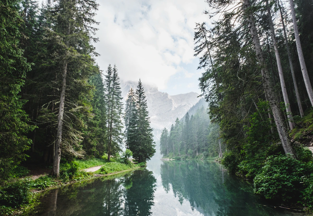
Cashel Forest is a good choice when you want woodland scenery and the flexibility to select a shorter or longer walk. The National Park lists a network ranging from a largely level 500-metre burnside wander to a moderately challenging 5.7 km route reaching higher ground.
Which Cashel route should you choose?
For a beginner, start with the short riverside option rather than assuming that every trail in the network is easy. Longer routes can involve uneven ground and greater effort, particularly after rain.
- Choose the short burnside walk if you want a brief nature stop.
- Allow extra time for photographs and wildlife observation.
- Check the distance and difficulty of the selected trail before leaving the visitor area.
- Wear shoes with reliable grip, particularly during wet weather.
Woodland walks are not automatically accessible just because they are short. Roots, mud, loose stones, and gradients may make some paths unsuitable for wheelchairs or pushchairs.
For route-specific details, consult the National Park’s short and moderate walks directory. It lists Cashel Forest alongside other routes and identifies different difficulty levels.
6. Brig o’ Turk to Loch Achray: A Short Forest-and-Loch Walk
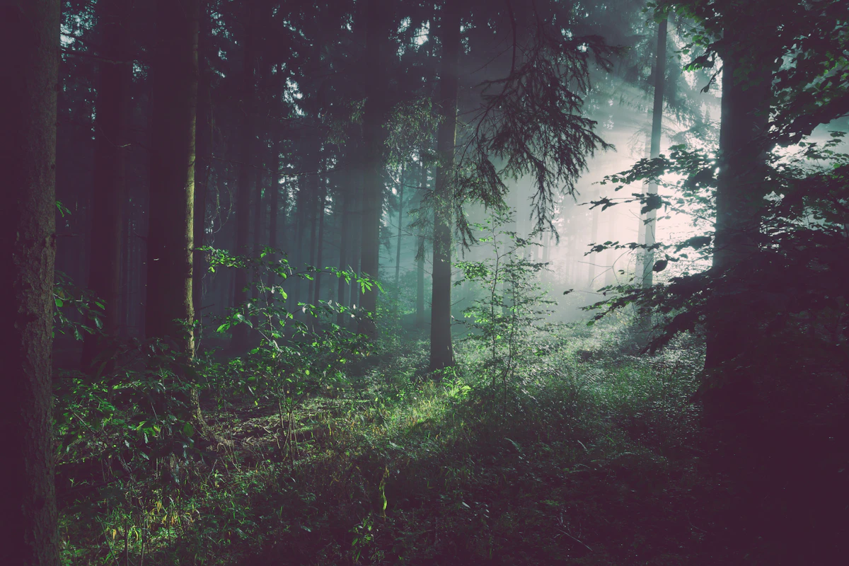
The Brig o’ Turk to Loch Achray section is a good option for walkers who want a short route with a mix of woodland and lochside scenery. The National Park’s walking leaflet describes approximately 2 km one way, mainly along a flat, firm gravel track.
What is the walking surface like?
The route is generally described as firm and mostly level, with a slight slope at a bridge. Conditions may become muddy around the farm section after wet weather, so waterproof footwear can make the walk more comfortable.
You can walk part of the route and turn back if you want an even shorter outing. If you plan to complete the full section, remember that 2 km one way means roughly 4 km for a return walk.
- Best for: Visitors seeking a manageable walk in the Trossachs.
- Terrain: Mostly firm gravel, with possible mud in wet conditions.
- Planning tip: Check the route leaflet and access arrangements before setting out.
For a longer trip through the area, browse our tours and activities travel guide for ideas on combining outdoor walks with other visitor experiences. Check individual providers for current availability and opening times.
7. Aberfoyle Forest Paths: Gentle Woodland Exploration

Aberfoyle is worth considering if you prefer forest scenery and want to choose a route suited to your available time. The National Park identifies the village as generally level and highlights walks around the Lodge Forest Visitor Centre.
How to make this a relaxed outing
Choose a signed route with a distance and gradient you can comfortably manage. Forest trails vary: a short path near a visitor centre may be straightforward, while a longer route can include steeper sections and rougher surfaces.
Before starting, check whether the visitor centre and any facilities you need are open. Do not assume that a facility’s presence on a map guarantees it is available on your visit date.
- Best for: Nature lovers, families, and visitors seeking a woodland setting.
- Look for: Clearly signed paths and route information at the starting point.
- Be prepared for: Damp ground, exposed roots, and changing weather.
Visitors with mobility requirements should review the National Park’s accessible walking guidance rather than relying on a general description of a walk as easy.
8. Kilmun Heritage Trail: A Short Walk With Local History

The Kilmun Heritage Trail is a compact option for visitors who want a short circular walk rather than a longer hike. The National Park describes it as a 0.7 km circuit through the historic village of Kilmun on the Holy Loch, returning through a conifer forest.
Who will enjoy this trail?
The short distance makes Kilmun useful as part of a wider day exploring the Cowal Peninsula. It is also an alternative for travellers who want a walk with a local heritage element rather than a route focused entirely on mountain views.
- Distance: Approximately 0.7 km, according to the National Park’s route guide.
- Route type: Circular.
- Best for: A short stop, casual walkers, and people interested in local history.
- Check first: Surface conditions, access, and any temporary restrictions.
The published route information is available through the National Park’s walking guide overview, which also includes routes in Cowal, Killin, and Callander.
How to Choose Easy Walks in Loch Lomond and the Trossachs
The easiest walk is the one whose distance, surface, and gradient match your ability on the day. A short route can still feel difficult if it is muddy, steep, exposed, or unsuitable for the footwear you brought.
For beginners and occasional walkers
Start with Callander Meadows or a short section of Firkin Point. Both offer options that do not require a summit ascent, and you can keep the outing manageable by turning back whenever you need to.
For families with younger children
Choose routes with clear paths, interesting scenery, and convenient places to pause. A shorter outing with time to explore is often more enjoyable than a long walk that pushes children beyond their comfort level.
Our guide to national parks for families offers broader planning ideas for outdoor days with children. For this particular park, check the route’s actual surface and any water or road crossings before deciding whether it is suitable.
For wheelchair users and visitors who need smoother surfaces
Start by checking the official descriptions for Firkin Point, Callander Meadows, and other routes specifically identified for accessibility. A level tarmac path is generally easier to navigate than a rough woodland track, but gates, gradients, toilets, and parking arrangements also matter.
Contact the relevant site or visitor information service if you need confirmation of a particular access requirement. Accessibility can vary along a single route.
For photographers and landscape lovers
Choose a lochside path or woodland walk that leaves enough time to stop safely for photographs. Calm mornings may offer attractive reflections, while changing cloud can make the surrounding hills look dramatically different.
Do not leave a marked path or approach an unstable bank for a photograph. Weather and light change quickly in Scotland, and the safest viewpoint is not always the closest one to the water.
Parking, Transport and Walking Preparation
Check your starting point, transport, and current access information before travelling. Several walks are spread across the national park, so selecting a route near your other plans can save time and avoid unnecessary driving.
Parking and arrival times
- Check the official route page for the correct car park or starting point.
- Allow additional time during weekends, school holidays, and good-weather periods.
- Use designated parking and never block gates, passing places, or residential access.
- Confirm parking charges, opening times, and restrictions where applicable.
Parking availability and charges can change, so this guide does not promise free spaces or guaranteed access at any particular time.
Getting around without a car
Some park destinations can be reached by public transport, but services and connections vary by season and location. Check current timetables before choosing a route, particularly if the walk ends somewhere different from its starting point.
Use the official Traveline Scotland journey planner to research public transport connections. Our trains and buses guide can also help with general trip-planning considerations.
What should you pack for an easy Scottish walk?
- Comfortable walking shoes with grip suitable for the selected surface.
- A waterproof jacket and an extra warm layer.
- Drinking water and snacks, especially when travelling with children.
- A charged mobile phone and an offline map or downloaded route guide.
- Any medication, mobility equipment, or personal essentials you need.
- A small bag for taking rubbish away with you.
Scottish weather can change quickly, even on a low-level route. Check the forecast, start early enough to finish comfortably, and turn back if conditions deteriorate.
Respect wildlife and the countryside
Follow the Scottish Outdoor Access Code, keep dogs under control, and avoid disturbing wildlife or livestock. Leave gates as you find them, take rubbish home, and respect private property and local communities.
Read the Scottish Outdoor Access Code for guidance on responsible access. For weather and mountain safety information, consult the Mountain Weather Information Service, especially if your chosen walk includes exposed or elevated ground.
Two Practical Itineraries for a Relaxed Walking Day
Group nearby stops together rather than trying to cover the entire national park in one day. The following are planning examples, not fixed tours; adjust them to current access, transport, weather, and your walking pace.
Option A: A gentle day around Callander
- Morning: Begin with Callander Meadows and enjoy the riverside scenery.
- Late morning: Explore Callander’s town centre and take a break before continuing.
- Afternoon: Choose another suitable local attraction or a short walk after checking its route details and opening arrangements.
This plan suits visitors who prefer accessible services nearby and want to avoid committing to a long hike. Keep the second walk optional so that the day remains flexible.
Option B: A Loch Lomond and village scenery day
- Morning: Walk a manageable section of the Firkin Point path.
- Midday: Take a break and enjoy the lochside views without leaving designated paths.
- Afternoon: Visit Luss if transport, parking, and your available time make the extra stop practical.
Allow time for travel between stops and check the local parking situation. If you are relying on buses, confirm the return service before starting the walk.
How to estimate your walking time
A useful planning method is to separate walking time from breaks and travel. For example, a 2 km one-way route involves 4 km of walking if you return by the same path. The total outing will take longer than the walking estimate once you include photographs, snacks, rest stops, and access to the trailhead.
Use the published route duration as a starting point rather than a guarantee. Fitness, weather, terrain, and the needs of your group all affect how long a walk takes.
Frequently Asked Questions
These answers cover common planning questions about easy walks in Loch Lomond and the Trossachs National Park.
What is the easiest walk in Loch Lomond and the Trossachs National Park?
Callander Meadows and the surfaced path at Firkin Point are good starting points for visitors seeking gentle terrain. Check the chosen route’s current conditions and accessibility details before travelling.
Are there easy walks in the Trossachs for families with children?
Yes. Callander Meadows, short sections of the Firkin Point path, and selected trails around Loch Achray offer options for a family outing. Choose the distance based on your children’s ability and allow time for breaks.
Which Loch Lomond walks have relatively level paths?
The National Park describes the Firkin Point lochside path as level and surfaced. It also identifies a short, tarmac-surfaced circular route at Callander Meadows. Confirm current conditions and route access before your visit.
Can you enjoy Loch Lomond without climbing a mountain?
Absolutely. Lochside walks, village paths, riverside trails, and woodland routes provide ways to enjoy the landscape without climbing a summit. Firkin Point is a particularly useful choice for a gentle outing beside the water.
Are there short walks near Loch Katrine?
The Brenachoile section of the Great Trossachs Path is described in the National Park’s leaflet as approximately 3.4 km one way. It follows a quiet tarmac road shared with a small amount of traffic, so review the route before deciding whether it suits your group.
Are these walks suitable for wheelchairs or pushchairs?
Some sections have smoother surfaces, but suitability depends on gradients, gates, weather, and the specific route. Check the National Park’s official all-abilities information and confirm any access needs before setting out.
What is the best time of year for easy walks in the Trossachs?
Walking is possible throughout the year when routes are open and conditions are suitable. Spring and summer often provide longer daylight, while autumn brings seasonal woodland colour. Rain, mud, wind, and reduced winter daylight can affect route choice in any season.
Do you need hiking boots for easy walks in Loch Lomond?
Not necessarily. Comfortable shoes with suitable grip may be sufficient for a surfaced path in dry conditions, while waterproof walking shoes or boots are more useful on muddy or uneven trails. Choose footwear for the actual route and forecast.
Where can you find reliable route maps and updates?
Start with the official Loch Lomond and The Trossachs National Park walking pages and route leaflets. Check local notices and transport providers for temporary closures, access changes, and current travel arrangements.
Final Takeaway: Choose a Walk That Fits Your Day
The best easy walk is one that gives you the scenery you want without asking you to take on more distance or difficulty than you are comfortable with. Callander Meadows is a sensible starting point for riverside scenery, Firkin Point works well for a gentle lochside stroll, and the Brenachoile Trail offers a longer low-level option near Loch Katrine.
Before setting out, confirm the route, check weather and access, and plan how you will return to your starting point. With a little preparation, easy walks in Loch Lomond and the Trossachs National Park can become a rewarding part of a Scotland trip, whether you have an hour or a full day to explore.
For the most reliable final check, consult the official National Park walking and hiking hub before departure.
Editorial note: This guide uses published National Park route descriptions for key distances, surfaces, and accessibility details. Conditions, facilities, and access arrangements can change. Confirm current information with the relevant official source before travelling. The photographs above are illustrative Unsplash images and are not claimed to depict the exact named trails.