The best hike in Capitol Reef National Park depends on your fitness, available time, and preferred scenery. Hickman Bridge is an excellent choice for a natural rock formation, Grand Wash offers a dramatic canyon walk when accessible, and Cassidy Arch rewards experienced hikers with expansive sandstone views. Check current closures before choosing a route.
Located in southern Utah, Capitol Reef National Park protects the Waterpocket Fold, colorful sandstone cliffs, natural arches, narrow canyons, and historic Fruita. This guide compares seven hikes, explains how to choose a suitable trail, and provides practical advice for planning a safer day outdoors.

What Is the Best Hike in Capitol Reef National Park?
Hickman Bridge is a strong all-around choice for many first-time visitors, while Cassidy Arch is better for hikers seeking a challenging sandstone adventure. The right option depends on your comfort with elevation gain, exposure, and uneven surfaces.
Capitol Reef has short viewpoint walks, moderate climbs, and strenuous routes. The National Park Service lists trails with round-trip distances ranging from short walks to longer hikes. Always consult the official Capitol Reef hiking guide for current trail details.
7 Best Hikes in Capitol Reef National Park
1. Hickman Bridge Trail: Best for a Natural Rock Arch

Choose Hickman Bridge for a memorable natural formation without committing to a full-day trek. The trail leads through a rocky landscape to a natural stone bridge approximately 133 feet long.
- Approximate round-trip distance: 1.8 miles (2.9 km).
- Difficulty: Moderate.
- Elevation gain: About 400 feet (122 m).
- Best for: First-time visitors, landscape photography, and hikers with a few hours available.
The route begins with an uphill section, so do not assume that a short distance means effortless walking. Uneven rock, exposed sections, and heat can make the return journey harder than expected.
Practical tip: Start early during warm weather, carry water, and allow time to enjoy the formation without stepping onto unsafe edges. Families should supervise children closely near drop-offs.
2. Cassidy Arch Trail: Best for Dramatic Views

Cassidy Arch is a rewarding option for experienced hikers who want elevated views and a striking natural arch. The route climbs over exposed slickrock and uneven terrain before reaching the arch.
- Approximate round-trip distance: Around 3.4 miles (5.5 km) for the commonly described route; verify the current official map and route.
- Difficulty: Strenuous.
- Elevation gain: Substantial, with published figures varying by route description.
- Best for: Fit hikers comfortable with steep climbs and exposed terrain.
The scenery changes as the trail rises from the canyon toward broad sandstone surfaces. Take your time on slickrock and avoid approaching exposed edges simply to take photographs.
Important: Access can depend on road and trail conditions. The NPS conditions page has recently reported a closure affecting Grand Wash Road. Confirm that the trailhead is reachable before planning this hike.
3. Grand Wash Trail: Best for a Canyon Walk

Grand Wash is appealing for hikers who want to walk between tall canyon walls rather than climb continuously uphill. The route follows a wash through a narrow sandstone corridor, revealing textures and geological layers along the way.
- Approximate distance: About 2.2 miles one way through the commonly described section.
- Difficulty: Generally easy to moderate, depending on distance and conditions.
- Terrain: Sandy or rocky wash bed with narrow canyon sections.
- Best for: Canyon scenery, geology, and hikers who prefer less elevation gain.
Visitors can turn around when they have seen enough, making this a flexible outing. However, the absence of a steep climb does not make a canyon safe in every weather condition.
Safety warning: Flash floods can occur even when rain is falling outside the canyon. Never enter a wash or gorge when storms threaten, and never walk or drive through floodwater. Check the latest park alerts and road conditions before leaving.
4. Cohab Canyon Trail: Best for Hidden Canyon Views

Cohab Canyon is a good choice for hikers who want a moderate climb and changing views of the Fruita area. The trail passes through rocky terrain and offers access to viewpoints overlooking the surrounding landscape.
- Approximate round-trip distance: About 1.7 miles (2.7 km) for the commonly listed route.
- Difficulty: Moderate.
- Elevation gain: Around 440 feet (134 m).
- Best for: Hikers who want canyon scenery and elevated viewpoints without a long expedition.
Expect some climbing near the start, followed by more varied terrain. Allow additional time if you explore signed viewpoint spurs, and check the trail map to avoid unintentionally extending the route.
Practical tip: This is a useful alternative to consider when planning a day around Fruita, provided the trail and access roads are open.
5. Chimney Rock Loop: Best for Panoramic Scenery
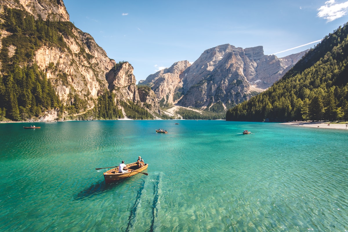
Choose Chimney Rock Loop for a more demanding walk with expansive views of the Waterpocket Fold and surrounding cliffs. The route includes a steep initial climb before continuing across exposed terrain.
- Approximate round-trip distance: 3.6 miles (5.8 km).
- Difficulty: Strenuous.
- Elevation gain: Around 590 feet (180 m) in the commonly listed route description.
- Best for: Confident hikers, wide-angle photography, and longer half-day outings.
The elevated sections provide a different perspective from the canyon-floor trails. Start with enough daylight to finish comfortably and be prepared for strong sun and wind on exposed sections.
Before visiting, check the current trail status and parking information. Closures can affect access, and older maps may not reflect current conditions.
6. Fremont River Trail: Best for a Short Outing Near Fruita

The Fremont River Trail suits visitors looking for a shorter outing near the developed Fruita area. The route follows the river before climbing toward views of the surrounding landscape.
- Approximate distance: About 1 mile (1.6 km) for the commonly listed route.
- Difficulty: Moderate where the uphill section is included.
- Best for: Visitors with limited time and travelers combining a walk with other Fruita stops.
Do not assume that a trail beside a river is suitable for swimming or drinking water. Follow current park advisories and use safe, treated drinking water.
Planning note: If you are building a wider Utah itinerary, browse our tours and activities planning resources for ideas on organizing outdoor experiences alongside other attractions.
7. Rim Overlook Trail: Best for Elevated Views
Rim Overlook is ideal for hikers who want broad views of Fruita and the Waterpocket Fold without extending all the way to Navajo Knobs. The trail climbs steadily to a viewpoint above the surrounding terrain.
- Approximate round-trip distance: About 4.6 miles (7.4 km), depending on the trailhead and route description.
- Difficulty: Strenuous.
- Elevation gain: Approximately 1,110 feet (338 m) in the published route description.
- Best for: Fit hikers who enjoy sustained climbs and expansive viewpoints.
Take breaks before you feel exhausted, keep an eye on changing weather, and do not approach cliff edges for photographs. If you are uncertain about your ability to complete the climb, choose a shorter route instead.
Capitol Reef Hiking Trails Compared
Compare distance, climbing, and terrain before choosing your route. The table summarizes commonly published figures, but exact distances and elevation gain can vary by trailhead and route.
| Trail | Approximate distance | Difficulty | Best feature |
|---|---|---|---|
| Hickman Bridge | 1.8 miles round trip | Moderate | Natural stone bridge |
| Cassidy Arch | About 3.4 miles round trip | Strenuous | Arch and slickrock scenery |
| Grand Wash | About 2.2 miles one way through a listed section | Easy to moderate | Narrow canyon walls |
| Cohab Canyon | About 1.7 miles for the listed route | Moderate | Hidden canyon views |
| Chimney Rock Loop | 3.6 miles round trip | Strenuous | Panoramic views |
| Fremont River | About 1 mile | Moderate | River scenery near Fruita |
| Rim Overlook | About 4.6 miles round trip | Strenuous | Elevated views of Fruita |
For verified trail descriptions and maps, consult the National Park Service trail guide and the Fruita Area Map and Guide. Use the most recent information where it differs from older printed material.
How to Choose the Right Capitol Reef Hike
Choose your trail according to fitness, available daylight, weather, and access conditions rather than scenery alone. A shorter hike that you can complete safely is better than a strenuous route that exceeds your preparation.
Step 1: Match the distance to your fitness
Estimate your total walking time, including stops and the return journey. Rocky surfaces and elevation gain can make a short desert trail slower than a flat walk of similar length.
Step 2: Decide what scenery you want
- For a natural stone bridge, consider Hickman Bridge.
- For dramatic canyon walls, consider Grand Wash when open and safe.
- For a strenuous climb and a natural arch, consider Cassidy Arch.
- For elevated views, compare Chimney Rock Loop and Rim Overlook.
Step 3: Check access before driving
Capitol Reef has developed areas as well as remote districts where road conditions can change quickly. Check the official conditions and alerts page before departure, particularly after storms.
Step 4: Allow a realistic time buffer
Include time for parking, finding the trailhead, water breaks, photography, and unexpected delays. Avoid beginning a demanding hike late in the day when daylight is limited.
A Practical One-Day Capitol Reef Hiking Itinerary
A good one-day plan combines one main hike with a shorter stop, leaving enough flexibility for changing conditions. The itinerary below is a planning framework, not a promise that every trail will be open.
- Early morning: Check the weather, flash-flood potential, and road closures. Start with Hickman Bridge if open and appropriate for your group.
- Late morning: Take a break, refill water where available, and assess whether everyone has the energy for another walk.
- Midday: Choose a short, accessible viewpoint or a relaxed visit around Fruita rather than starting a long exposed climb in peak heat.
- Afternoon: If conditions and daylight allow, complete a second short outing or explore a permitted scenic stop.
- Before leaving: Check road updates again and avoid driving into remote washes or canyons if storms threaten.
Travelers combining several destinations can also review our package tour planning resources and accommodation planning guide to organize lodging and transport around outdoor activities.
Safety Tips for Hiking in Capitol Reef National Park
Carry enough water, check the forecast, stay on established routes, and avoid canyon hikes whenever flash flooding is possible. Desert weather and exposed terrain can turn an otherwise manageable walk into a dangerous outing.
Prepare for heat and dehydration
- Carry plenty of drinking water and more than you expect to need if conditions are hot.
- Wear sun protection, a suitable hat, and sturdy footwear.
- Begin early during warm weather and take regular breaks.
- Do not rely on streams or other untreated water sources for drinking.
Understand flash-flood risk
Flash floods can develop in dry washes and narrow canyons even when rain falls elsewhere. If storms are forecast, avoid canyon routes and follow park instructions. If flooding threatens, move to higher ground immediately; never attempt to cross floodwater.
Read the official Capitol Reef safety guidance before your trip.
Protect the landscape
- Stay on marked trails and respect closure signs.
- Do not climb fragile formations or approach cliff edges for photographs.
- Leave rocks, fossils, plants, and historic objects undisturbed.
- Pack out all rubbish and keep children within close supervision.
When Is the Best Time to Hike Capitol Reef?
Spring and fall are often comfortable seasons for hiking, but daily weather and trail access matter more than the calendar alone. Summer can bring intense heat and monsoon storms, while winter may bring snow, ice, and reduced daylight.
During summer, plan exposed hikes for early morning and check the forecast before entering a canyon. In spring and fall, bring layers because temperatures can change between morning and afternoon. In winter, confirm trail conditions and use appropriate footwear for slippery surfaces.
For current forecasts, visit the National Park Service weather page, which provides information for different park districts.
Frequently Asked Questions
What is the best hike in Capitol Reef National Park for first-time visitors?
Hickman Bridge is a strong first choice for visitors who want a recognizable natural feature on a relatively short route. Expect an uphill section and uneven terrain, and check current access before leaving.
Which Capitol Reef hike has the best canyon scenery?
Grand Wash is known for its tall canyon walls and narrow passages. It should only be visited when access is open and the weather is safe because washes are vulnerable to flash flooding.
Is Cassidy Arch suitable for beginner hikers?
Cassidy Arch is generally better suited to hikers who are comfortable with steep climbs, exposed terrain, and uneven slickrock. Beginners may prefer a shorter route such as Hickman Bridge, depending on fitness and conditions.
Can families hike Capitol Reef with children?
Yes, families can choose shorter trails and viewpoint walks that match their children’s abilities. Keep children close around cliffs, carry adequate water, and review the park’s current hiking advice before setting out.
Are Capitol Reef hiking trails open year-round?
Some trails can be accessible throughout the year, but weather, snow, flooding, road closures, and maintenance can affect access. Check the latest NPS conditions rather than assuming a trail is open.
How much water should I bring for a Capitol Reef hike?
Water needs depend on temperature, exertion, duration, and individual requirements. The NPS advises carrying water and being prepared for intense desert heat; bring enough for the planned outing and avoid relying on untreated sources.
Can you hike Capitol Reef during monsoon season?
Some hikes may be possible when conditions are safe, but avoid canyons and washes whenever storms or flash-flood risks are present. Check official forecasts and choose a safer alternative or postpone your outing when needed.
Where can I find an official Capitol Reef trail map?
Use the National Park Service’s official trail guide and Fruita Area Map and Guide. Check current alerts because maps may not reflect temporary closures.
Final Takeaway
The best hike in Capitol Reef National Park is the one that fits your fitness, available time, and current trail conditions. Hickman Bridge offers a memorable natural feature, Cassidy Arch provides a more challenging adventure, and Cohab Canyon and Rim Overlook reward hikers seeking elevated scenery.
Before you go, check official NPS trail conditions, plan around desert heat, carry adequate water, and treat flash-flood warnings seriously. A flexible plan will help you enjoy Capitol Reef’s remarkable landscape without taking unnecessary risks.
Editorial note: Trail distances and difficulty descriptions are approximate and based on published park route information. This guide is for trip planning, not a substitute for current park alerts or on-site ranger advice.